-
11 How Do You Know If You’re in a Flood Zone and Need Flood Insurance?
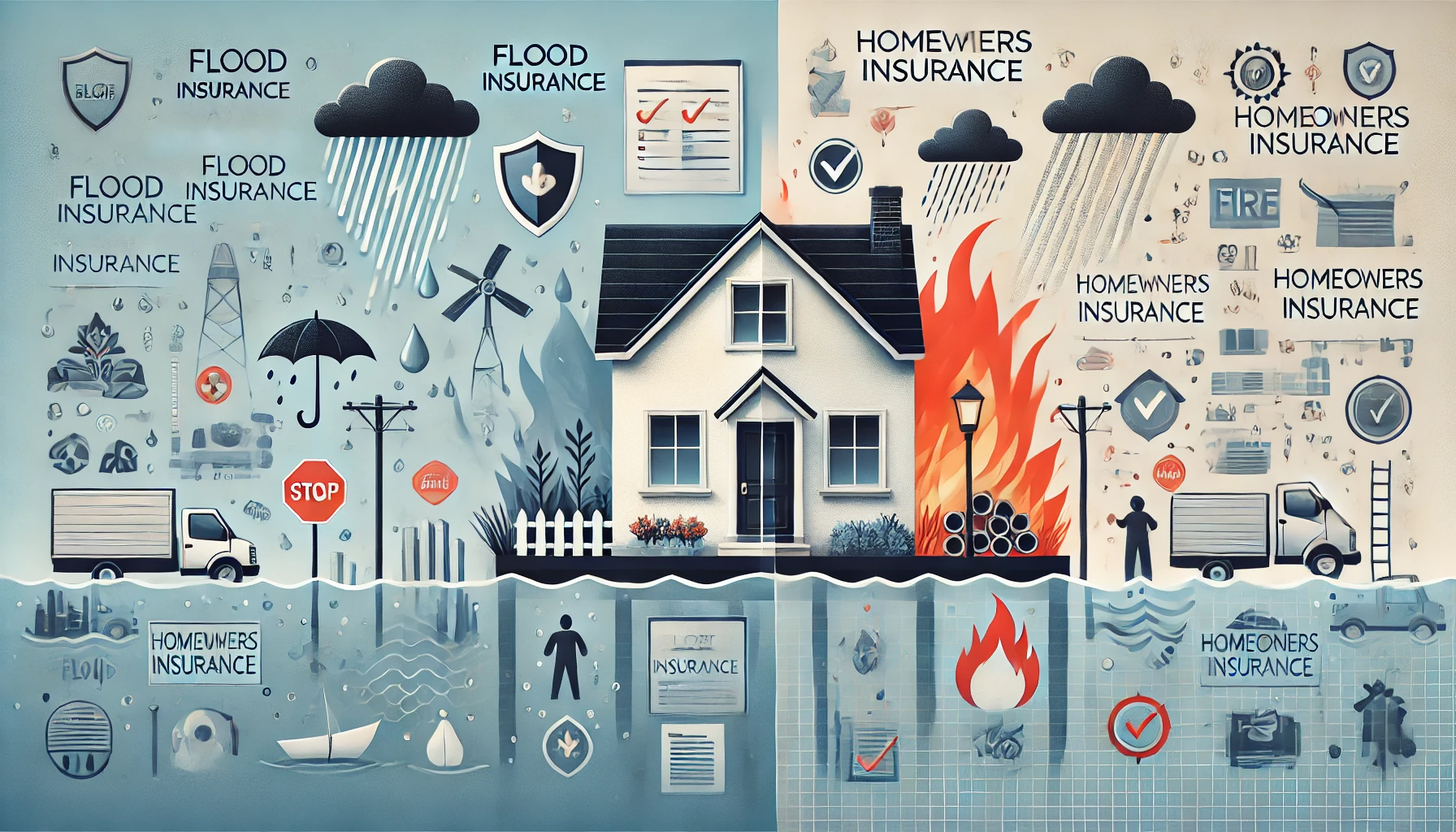
Many homeowners only think about flood insurance after a major storm hits their area — often when it’s already too late. What most don’t realize is that the risk of flooding exists almost everywhere, not just along coastlines or near rivers. But how can you know if your property lies in a flood zone? And what exactly does that mean for your insurance needs?
This part will walk you through how flood zones are determined, how to find your property’s official risk rating, what different flood zone codes mean, and how to decide whether you truly need flood insurance — even if your lender doesn’t require it.
What Is a Flood Zone?
A flood zone is a geographic area that FEMA (the Federal Emergency Management Agency) defines based on its potential flood risk. These zones identify how likely it is for an area to experience a flood in any given year.
Flood zones are categorized primarily by risk level:
High-risk zones (floodplains that are likely to flood at least once every 100 years)
Moderate-risk zones (areas with a lower but possible chance of flooding)
Low-risk zones (areas that rarely flood but are not completely immune)
FEMA updates these zones through Flood Insurance Rate Maps (FIRMs) — digital maps that show topography, elevation, waterways, and historical flood data.
Your flood zone plays a major role in determining whether:
You are required by law to have flood insurance, and
How much you’ll pay for it.
Who Determines Flood Zones and How?
Flood zones are determined using a combination of scientific and statistical data. FEMA works with local governments, engineers, and environmental scientists to assess:
Elevation and topography
Proximity to water bodies (rivers, lakes, coasts)
Soil absorption capacity
Drainage infrastructure
Historical flood records
Rainfall frequency and intensity
All this data feeds into FEMA’s modeling system, which produces floodplain boundaries and assigns risk categories to every parcel of land in the U.S.
However, flood zones are not permanent. As cities develop and climate patterns shift, FEMA regularly updates maps to reflect new realities. A property that wasn’t in a flood zone 10 years ago may be classified as high-risk today.
The FEMA Flood Zone Categories (Explained Simply)
Here’s what the most common FEMA flood zone codes mean:
Flood Zone Risk Level Mandatory Flood Insurance? Description Zone A High Yes Subject to flooding from rivers or streams; base flood elevation (BFE) determined. Zone AE High Yes Detailed BFE data available; part of the 100-year floodplain. Zone AH High Yes Areas with shallow flooding (ponding, slow drainage). Zone AO High Yes Areas with sheet flow flooding from rainfall (common in urban areas). Zone V or VE Very High Yes Coastal flood zones subject to storm surge and wave action. Zone X (shaded) Moderate No Between 100- and 500-year flood zones; some flood risk remains. Zone X (unshaded) Low No Minimal flood risk, but flooding is still possible. Zone D Undetermined Possibly Risk not analyzed; potential flooding unknown. If your property falls into Zones A, AE, AH, AO, V, or VE, and you have a federally backed mortgage, your lender will require flood insurance.
How to Check Your Flood Zone Online (Step-by-Step)
It’s simple — you can find out your flood zone in just a few minutes using FEMA’s official tool.
Step 1: Visit FEMA’s Flood Map Service Center
Go to msc.fema.gov.
Step 2: Enter Your Address
Type in your home address, ZIP code, or coordinates.
Step 3: View Your Map
You’ll see an interactive map displaying your flood zone boundaries. The map legend will show the flood zones and nearby bodies of water.
Step 4: Download the FIRM Panel
You can download a Flood Insurance Rate Map (FIRM) for detailed data, including your Base Flood Elevation (BFE) and community floodplain management information.
Step 5: Consult Your Local Floodplain Manager
For the most accurate information, contact your local planning or zoning office. They can tell you about local drainage systems, recent flood map updates, and whether your area is being reevaluated.
Understanding Base Flood Elevation (BFE)
The Base Flood Elevation (BFE) represents the computed elevation to which floodwater is expected to rise during a “100-year flood event.”
If your home’s lowest floor elevation is below the BFE, it’s considered high-risk, which means you’ll pay higher premiums for flood insurance.
Homes built above the BFE receive lower rates because they’re less likely to suffer flood damage.
Your Elevation Certificate (EC) — a document prepared by a licensed surveyor — can help verify your home’s elevation relative to the BFE and may qualify you for premium reductions.
How Flood Zones Affect Insurance Requirements
Here’s the breakdown of how your flood zone influences your insurance obligations:
1. High-Risk Zones (A, AE, AH, AO, V, VE)
Flood insurance is required by federal law for homeowners with government-backed loans (FHA, VA, USDA, etc.).
Mortgage lenders typically won’t close loans without proof of coverage.
Premiums are higher, often $800–$2,500+ per year depending on elevation and location.
2. Moderate-Risk Zones (Zone X – shaded)
Flood insurance is not required, but strongly recommended.
FEMA reports that 40% of flood insurance claims come from these “moderate” zones.
Premiums are moderate, usually $300–$700 per year.
3. Low-Risk Zones (Zone X – unshaded)
Insurance is optional and very affordable (as low as $150–$300 per year).
Great option for homeowners who want peace of mind and full protection from surprise flash floods or drainage issues.
Why Flood Maps Can Be Misleading
FEMA’s maps are an excellent starting point, but they’re not perfect.
There are several reasons flood maps may underestimate risk:
They’re updated infrequently. Many maps are more than 10 years old.
They don’t account for heavy rainfall events. FEMA maps primarily reflect river and coastal flooding, not flash floods from intense rain.
Urban development changes water flow. New roads, parking lots, and subdivisions can redirect stormwater into previously safe areas.
Climate change increases rainfall intensity. NOAA reports 30–40% more heavy downpours in many U.S. regions than decades ago.
That’s why insurance professionals often recommend buying flood coverage even if your FEMA zone shows “low risk.”
Using Modern Tools to Assess Hidden Flood Risk
Several modern flood risk tools go beyond FEMA maps, using cutting-edge data to give homeowners a more accurate picture of their property’s vulnerability.
Try these resources:
FloodFactor.com – Uses AI, rainfall data, and terrain modeling to predict your property’s annual and lifetime flood risk.
RiskFactor.com – Calculates flood and fire risk combined, showing the probability of flood events during your mortgage term.
Local GIS systems – Many counties and cities have their own flood maps with real-time topographical overlays.
These tools often reveal that many “safe” areas are actually at moderate or high risk — especially in cities and suburbs where drainage infrastructure is outdated.
What If You’re Mapped Into a Flood Zone Unexpectedly?
If FEMA updates its flood maps and your property suddenly moves into a high-risk flood zone, don’t panic. You have options.
Grandfathered Rates: If you buy flood insurance before the new maps take effect, you can lock in your lower, pre-map premium.
Letter of Map Amendment (LOMA): If your property’s elevation is higher than the surrounding risk area, a surveyor can submit elevation data to FEMA to reclassify your property and remove the high-risk designation.
Mitigation Improvements: Raising your home’s elevation or installing flood vents can reduce premiums even if your flood zone doesn’t change.
These strategies can save you thousands annually while keeping your coverage active.
The Hidden Cost of Ignoring Your Flood Zone
Choosing not to purchase flood insurance simply because your lender doesn’t require it can be a financial gamble.
Let’s look at the math:
Average flood claim = $52,000
Average annual premium in a low-risk zone = $250
That means even 200 years of premiums cost less than one uninsured flood event.
FEMA also reports that just one inch of floodwater can cause $25,000 or more in damage, making the decision to go uninsured one of the most expensive risks homeowners take.
How to Read a Flood Insurance Rate Map (FIRM)
Each FEMA map includes:
Zone designation (A, AE, X, etc.)
BFE lines showing expected water elevation
Community boundaries showing floodplain participation
Coastal barriers and levee systems
Panel numbers and map dates
Reading your FIRM helps you understand not only your property’s risk but also whether your city participates in FEMA’s Community Rating System (CRS) — a program that rewards communities for flood mitigation efforts by lowering residents’ insurance premiums by up to 45%.
Why You Might Need Flood Insurance Even in a Low-Risk Zone
Even if you’re outside FEMA’s high-risk floodplain, your home can still flood from:
Extreme rainfall events
Blocked drainage systems
New construction changing runoff patterns
Snowmelt and ice jams in colder states
Urban flash flooding from overwhelmed sewers
And remember — homeowners insurance doesn’t cover any of it.
Flood insurance ensures you’re protected from those unpredictable, low-probability but high-cost disasters that strike when least expected.
The Emotional and Practical Value of Knowing Your Risk
Beyond finances, understanding your flood zone empowers you to prepare physically and emotionally.
Knowing your risk allows you to:
Elevate valuables in your home.
Purchase insurance before flood season.
Budget for protective improvements.
Avoid panic when heavy rain hits.
Awareness is the first step toward resilience. Homeowners who know their flood risk recover faster, file more successful claims, and experience less stress during disasters.
Key Takeaway: Knowledge Is Your Strongest Form of Protection
Determining whether you’re in a flood zone isn’t just a bureaucratic detail — it’s one of the most important financial decisions you’ll make as a homeowner.
FEMA maps show your property’s official flood risk.
Even “low-risk” zones experience floods — and insurance there is affordable.
Modern tools and elevation data provide deeper insight.
Owning flood insurance protects you from catastrophic loss — whether or not you live near water.
Floods don’t respect lines on a map, and they don’t wait for government declarations. But by understanding your zone and preparing early, you ensure your home — and your financial security — remain safe no matter what nature brings.
October 8, 2025
Home